
Less unnecessary travel
Secure links and live capture mean fewer trips that only collect missing photos or documents.
Spot Setu · Live Spot Survey
Spot Setu helps insurers and surveyors run an evidence-rich spot survey from assignment to final report, with live access to the survey location and structured field capture.
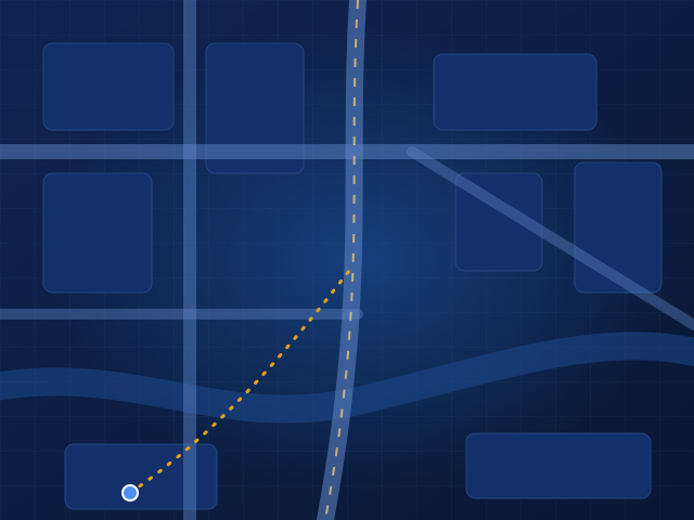 Accident site · geofenced
A spot survey is the surveyor’s inspection of the vehicle and accident scene soon after a motor loss is reported. Spot Setu runs it as a live, geotagged workflow: the surveyor captures structured evidence on a secure link, AI maps the damage, the insurer sees progress in real time, and the surveyor signs the final report.
Why Spot Setu
Spot Setu is designed to cut unnecessary travel, repeated follow-up and report preparation effort, while showing authorised stakeholders what was captured, where it was captured and what is still pending.
Secure links and live capture mean fewer trips that only collect missing photos or documents.
Mandatory checks stop a survey closing with gaps, so nobody chases the same item twice.
Insurers see captured, geotagged and pending items as the survey happens.
Features
Point & line of impact
Choose where the vehicle was hit. Spot Setu records the point and direction of impact, then compares it with the AI damage map and the reported cause.
Illustrative example. Reported cause in this sample: “hit by another car while turning, front-right”.
How it works
Claims arrive by insurer assignment or mailbox intake and are opened as a case.
The case is classified so the right checklist and questions apply.
The insured is informed and the survey is scheduled.
The surveyor or field user gets a secure, case-specific link.
Forms, photos, video, voice notes, owner statement and point of impact, with mandatory checks.
Damage is mapped and compared with the reported cause and line of impact.
Gaps or inconsistencies go back for resubmission before the case can close.
A case summary is drafted, the surveyor signs and the final Spot Survey PDF is issued.
Who it helps
Live status, structured evidence and a consistent report format across every surveyor and region.
Learn moreGuided capture, AI damage mapping and a drafted summary, with the surveyor still signing every report.
Learn moreA clear request for what’s needed, fewer repeat visits and fewer calls asking for the same document.
Learn moreAI maps damage and checks consistency; it never issues a survey report. The licensed surveyor reviews every finding, can request resubmission, and signs the final Spot Survey PDF.
FAQs
A spot survey is an inspection of the vehicle and the accident site, done soon after the loss is reported. The surveyor records the damage, the point and line of impact, the scene and the owner’s statement, so the insurer can judge whether the damage matches the reported cause. Spot Setu runs this survey as a live, geotagged, evidence-first workflow.
Spot Setu gives the surveyor a secure survey link, structured forms, geotagged photos and video, voice notes, owner statement capture, point-of-impact and line-of-impact tools, AI damage mapping and a drafted case summary. The surveyor reviews, signs and issues the final Spot Survey PDF.
Yes. Authorised stakeholders can see what has been captured, where it was captured and what is still pending, while the survey is in progress.
Point of impact is where the vehicle was first struck. Line of impact is the direction the force came from. Recording both helps check whether the visible damage is consistent with how the accident is described.
Spot Setu compares the reported cause, the point and line of impact and the AI damage map. Inconsistencies are highlighted for the surveyor and the insurer to review. They are signals, not conclusions; the surveyor decides.
No. Spot Setu is built for licensed surveyors. It reduces unnecessary travel, repeated follow-up and report preparation effort, while the surveyor keeps authority over the assessment, QC and final report.